AI
Urban Infrastructure Optimization
An AI-based system to analyze geospatial data and optimize layouts for roads, zones, and transport in urban environments.
Launched: 15.05.2025
Duration: Still in development
Client: Confedential
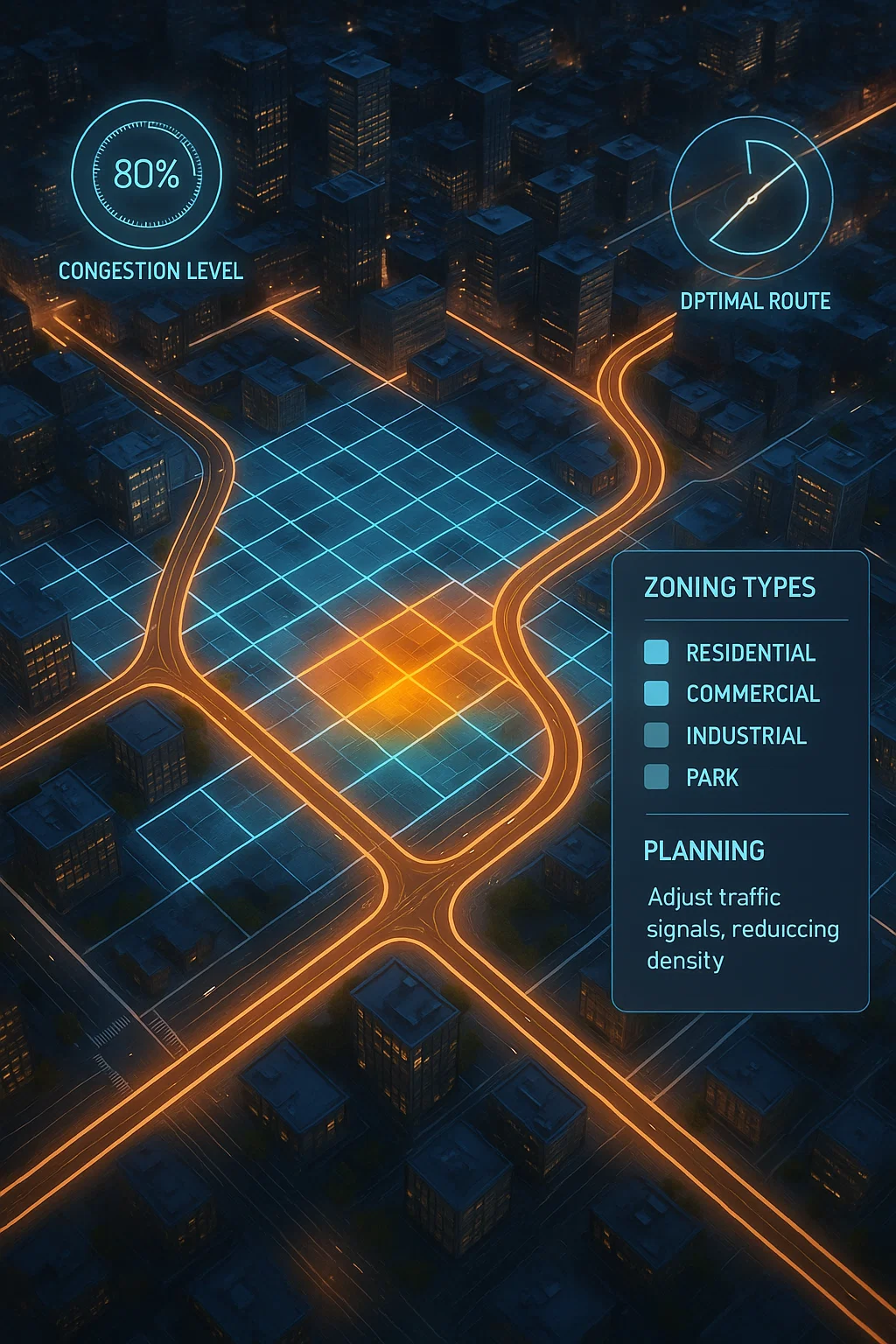
Development of a city planning assistant that uses zoning, traffic, and satellite data to recommend optimal road layouts and utility planning for urban areas.
The Challenge
City planners lacked a unified system for merging geospatial insights with predictive infrastructure modeling, leading to inefficient planning.
Our Solution
We built a concept engine that processes OSM and zoning datasets, visualizes inefficiencies, and recommends smart road networks and public service placements.
Results
- Optimized 3 simulated city districts with 25% better traffic flow
- Visual mapping of zoning conflicts
- Supported polygon-based and raster-layer input
- Presented at a smart city tech event
Technologies Used
Pyrosm
GeoPandas
TensorFlow
Leaflet.js
Mapbox
Project Overview
Client
Confedential
Category
AI
Timeline
Still in development
Launch Date
15.05.2025